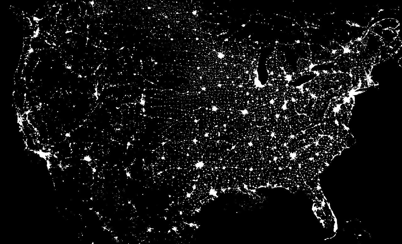
The United States at Night
This is what the
United
States of America looks like at night! Can you find your
favorite US city
on this image? Surprisingly, city lights make this task quite possible. The
above
picture is actually a composite of over 200
images made by satellites orbiting the
Earth. Scans were made by the
USAF
Defense Meteorological Satellite Program (DMSP)
Operational
Linescan System. The
DMSP satellites continue to help in the
understanding and prediction of
weather
phenomena as well as provide key
information about
population patterns,
city
light levels, and even
rural
forest fires.


